
Shrewsbury Address History Records
The backward trail begins with the era, not a name search. The Shrewsbury parcel layer gives current map and Registry references. Worcester land records then carry the title trail backward. Library collections supply a dated household lead, while the Town Clerk can route a specific annual street-list request. Each source answers a narrower question. A deed documents a transfer of an interest in land; it does not establish who occupied the property. A directory or annual list can place someone in a year, but it does not prove title.
| Source | Years it covers | Where held | What it can show |
|---|---|---|---|
| Shrewsbury FY2025 parcel layer | Current assessment and map data | Town GIS service | Situs, parcel IDs, plan ID, and Registry book/page bridge |
| Worcester Recorded Land and Registered Land index | Post-1960 standard indexed workflow | MassLandRecords and Registry | Recorded instruments, parties, book/page, document, town, and image route |
| Grantor and Grantee index books | 1731-1959 | Worcester Registry search instructions and index scans | Historic surname route to a book and page |
| Unindexed Property Search | 1731-1959 | Worcester Registry portal | Older property images after the index-book reference is known |
| Directories, reports, and street lists | Year-specific and intermittent | Library Ward Room and Town Clerk request route | Household or civic lead for a date, not a deed chain |
For a recent Shrewsbury address, start with the current parcel bridge. For a much older address, start with the known deed, plan, family name, or historical street form. Keep a source log with the search date, volume or document number, and any unresolved connection.
Note: A listing that lacks the right parcel, date, or prior-reference link should remain an unverified lead.
Shrewsbury Address Record Fields
The official Shrewsbury FY2025 parcel service is the best current bridge from an address to the deed system. Record SITE_ADDR and FULL_STR exactly as displayed, then preserve MAP_PAR_ID, PROP_ID, PLAN_ID, LS_BOOK, and LS_PAGE. These values join a mapped parcel to a Registry reference. They are not the deed image and do not prove present occupancy or current title.
A parcel can also hold a different owner mailing address, an organization name, sale fields, zoning, and building attributes. That is why past-resident work must not turn an owner field into a household claim. Open the instrument at the Registry, inspect the parties and prior-deed reference, and use the legal description or plan when the street name has changed.
- Situs address
- The physical property address used by the assessment or mapping record. It can differ from an owner's mailing address.
- Plan ID
- A pointer to a recorded plan or mapped subdivision reference that can help match lots across deeds.
- Book and page
- The Registry reference used to locate a recorded land instrument. It is a bridge until the instrument is inspected.
Shrewsbury Deed-Chain Records
Shrewsbury land documents are kept by the Worcester District Registry of Deeds, 90 Front Street, Suite C201, Worcester, MA 01608. The records map lists 508-368-7000. Use the MassLandRecords Worcester portal for current Recorded Land, Registered Land, and plan searching, then compare the instrument with the parcel reference. A Registry document proves a recorded transaction, not a household roster.
- Start with the current
LS_BOOKandLS_PAGE, plan, document number, or parcel description and open the recorded instrument. - Record the grantor, grantee, document type, town, recording date, book/page, document number, image status, and the deed's cited prior reference.
- Follow that cited prior deed backward. Do not select a similarly named person merely because the name looks plausible.
- Compare the legal description, plan, lot number, bearings, and adjoining parcels when the address is absent or differs from the current street form.
- Repeat only while the parcel connection remains supported. At the historical boundary, switch to the Grantor and Grantee books and then the unindexed property route.
- Grantor
- The party transferring an interest in the land.
- Grantee
- The party receiving that interest. A prior owner may appear as a grantee in an earlier purchase.
- Chain of title
- The linked sequence of recorded instruments for the same land interest, verified through prior references and land descriptions.
- Legal description
- The lot, bounds, plan, or other land description in an instrument. It can be more durable than a street address.
The Registry's office and portal are both access channels. Public terminals and the online indices provide essential index information, while older records and microfilm reach back to 1731. If an image or index is unclear, use the Registry's documented access route instead of filling in a missing link.
The Worcester Registry of Deeds describes the office, coverage, and search guidance.
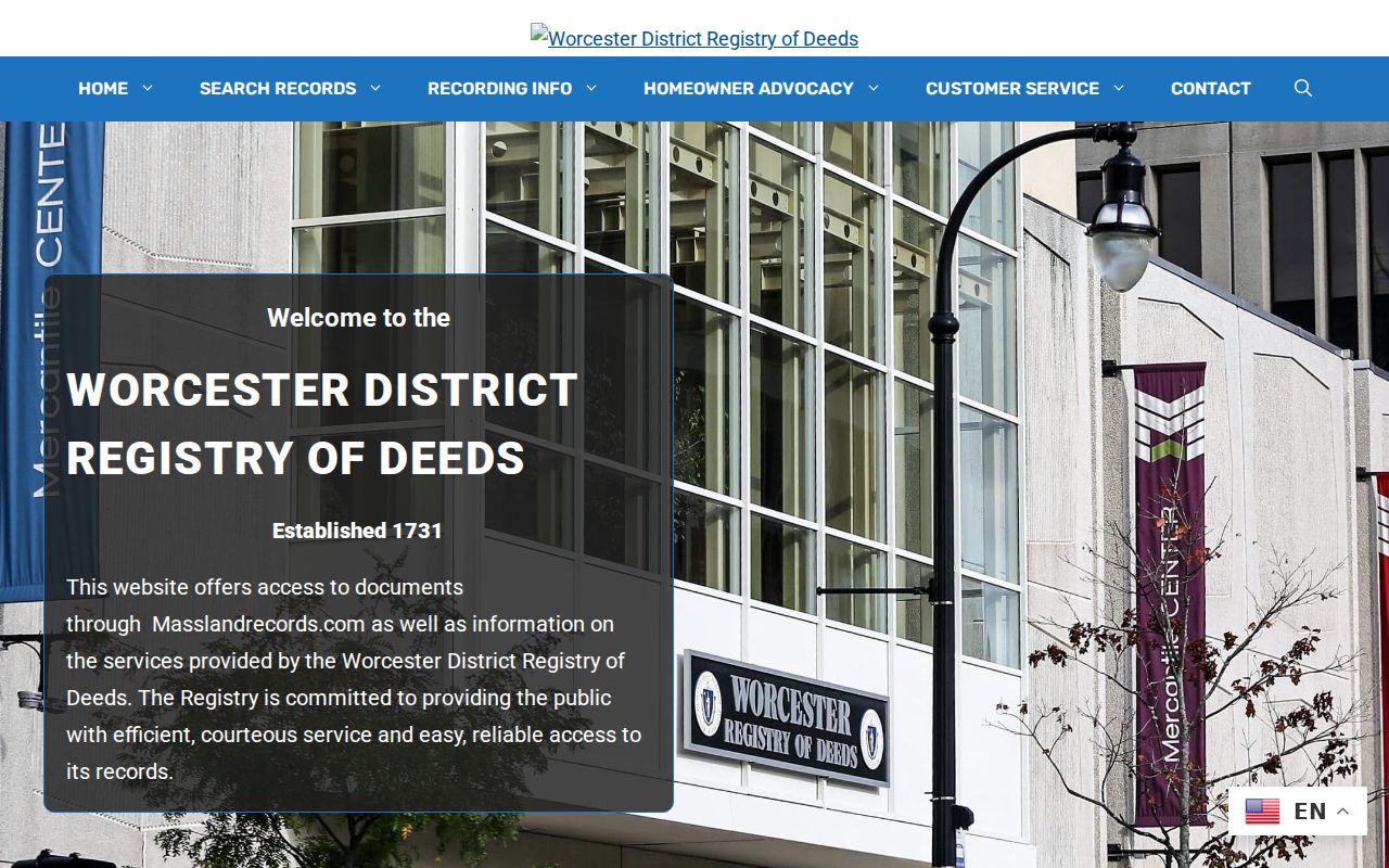
The Registry is the source for a recorded-deed fact. The parcel layer remains a map and assessment lead until that instrument is read.
Shrewsbury Historic Deed Records
For past-household research, 1960 is the key workflow boundary. Post-1960 land records use the standard online index. From 1731 through 1959, the Worcester Registry directs researchers to scanned Grantor and Grantee index books, followed by the unindexed property images. An empty modern search does not mean the prior deed is missing. It often means the historical index is in a different search path.
The Registry's search instructions describe the route: select the year range, enter the last name, choose the page, open the name, inspect the page image, and transfer the book/page to the unindexed property search. This is a surname index, so make the parcel and prior-reference checks before connecting a record to the Shrewsbury address.
The pre-1960 instructions show the Grantor/Grantee book and unindexed-property transition.
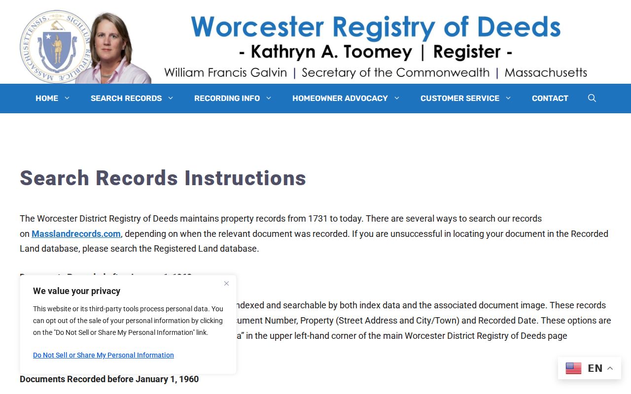
The historical index is a path to the earlier instrument, not a substitute for checking the scanned page and the property description.
Note: When the next prior deed cannot be confirmed, record the gap and stop the chain rather than manufacturing continuity.
Shrewsbury Road Record Continuity
Old Shrewsbury deeds may use a lot description, a former road form, or bounds that do not match the present address. Use PLAN_ID, plan bearings, lot numbers, adjoining owners, landmarks, and Registry plans to preserve the land connection. Town meeting minutes, road-acceptance votes, and Engineering records can supply a second trail when an old road description needs explanation.
No official Shrewsbury street-renaming or renumbering schedule was located in the research. That gap matters. Do not claim that two differently named roads are the same place without a plan, deed, road-layout record, or other dated source that makes the bridge. If the needed municipal record is not online, a narrow request through Shrewsbury Public Records should name the road, year range, parcel, and requested public fields.
Past Shrewsbury Households by Year
Ownership is only one layer. A dated directory, annual town report, or annual street list can provide a Shrewsbury household lead for a specific year. Start with an exact holding rather than a broad memory of a period. The Ward Room holds town reports for 1851-68 and 1879-2020 at R 352 S and microfilm box 11. The State Library lists selected Shrewsbury city directories from 1896-97 through 1970 and voting lists for five later years. Write down the volume title, year, printed page, archive or call number, and whether the source was an image or a catalog description.
Pair the directory date with census research as a time check, then test the name against a deed, vital record, cemetery source, or probate lead. The research did not identify a Shrewsbury-specific census index, so the dated library item should be the starting citation. For directory collections and entry abbreviations, use the Shrewsbury directory book rather than treating a current parcel search as a household record.
- Choose a directory, report, or street-list year that falls near the transfer or family event being studied.
- Inspect the page image or local copy and capture the exact name, address form, entry mark, year, page, and holding.
- Pair that year with census research and note whether the household composition agrees, differs, or remains unverified.
- Use a nearby directory or annual record to test a move, disappearance, or street-name variation.
- Keep an occupant lead separate from an ownership finding unless another source directly links them.
No standalone Shrewsbury obituary index was located in the official research. The library's NewsBank and Worcester Telegram & Gazette access can provide newspaper leads under their library conditions. Capture the publication, date, headline, page or database citation, and wording before using an obituary as family-history evidence.
Lawful use. Use past-resident research for personal house history, family history, estate questions, or civic research. Do not use any result to stalk, harass, or harm another person.
Shrewsbury Probate Record Leads
A deed transfer from an estate, trustee, guardian, or personal representative may point to a probate question. The appropriate local route is the Worcester Probate and Family Court, 225 Main Street, Worcester, MA 01608, 508-831-2200. A probate docket can identify a case lead, but it is not the estate file. Ask the Clerk or Register for the actual file when the legal question requires it and respect any access limit.
Probate names can help explain a transfer or family relationship. They cannot replace the deed's land description, and they should not be used to infer a person at an address. Record the court, docket number, document type, date, and whether the information came from a docket or a court file.
Shrewsbury Map Record Checks
The Library of Congress Sanborn guide is a method for searching fire-insurance maps by state, city, edition date, sheet, notes, and available digital files. It can help frame a historical map search once a street name and approximate period are known. The research did not locate a Shrewsbury-specific Sanborn edition. Do not assume that a Worcester sheet covers a Shrewsbury property without checking its city, title, and sheet details.
When a map is found, compare its title, date, street form, lot layout, and landmarks with the deed plan and current Shrewsbury parcel. A current polygon is a modern mapping representation. Historic lot lines can differ.
The Library of Congress guide documents the search method and its metadata checks.
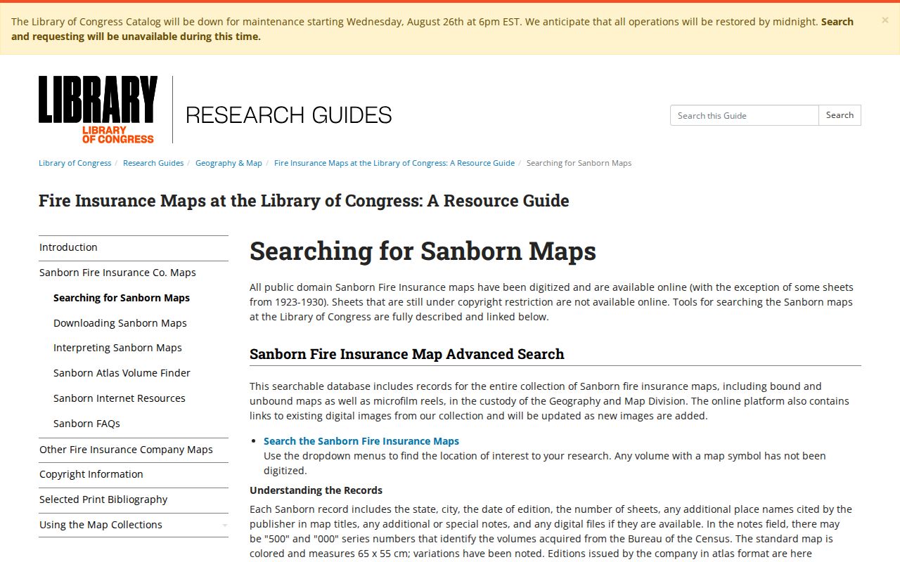
The guide supports a careful map search, while an identified edition and sheet must still be verified before using it for a Shrewsbury address.
Note: A map can show historical building and street context, but it does not by itself name every person who lived there.
Shrewsbury Address Record Limits
Good address history makes each bridge visible. Label the source as a current database field, indexed image, catalog description, original instrument, public-record response, or secondary lead. A property owner, an applicant, a voter, and an occupant are separate concepts. A protected address, confidential voter record, sealed court matter, or restricted vital record is not a gap to work around.
For municipal records that are not posted, a request under Massachusetts Public Records Law should describe one existing record, address or parcel, department, and time range. Shrewsbury's Town Clerk is the primary Records Access Officer, and the town provides department-specific routing. Preserve the request, response date, and any redaction explanation. That record trail is more useful than an unbounded request for a person's history.